
01

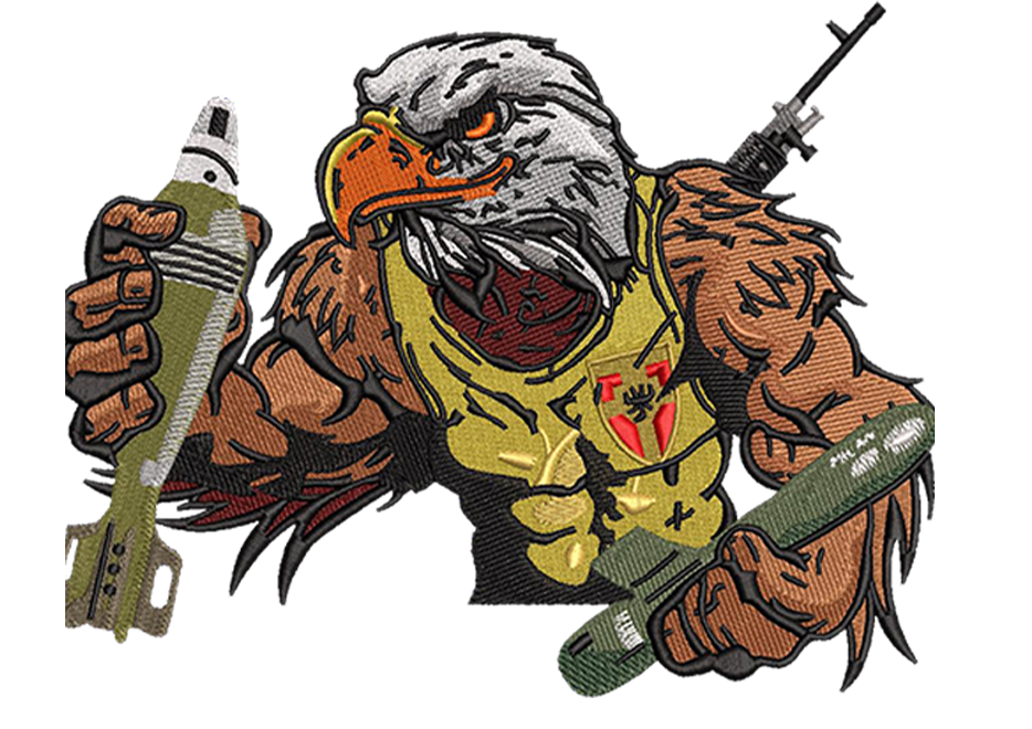
Digitizing
We deliver quality digitized files with required number of stitches, least thread trims and colors changes, compatibles with all popular embroidery machines.

02

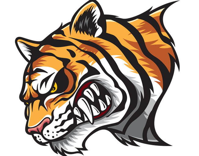
Vector
We create high-resolution vector art from low resolution photos or other images, which can be scaled up or down infinitely without the loss of resolution.
03

Patches
Our team of embroidery ,with year of experience in award winning designs ,will assist you in creating a beautiful patch that will be worn with pride.


STITCH COUN
 Contact Us
$ 1.0
1K Stitches
- 4 hours turnaround
- 2 hours if rush
- EMB DST PDF BMP/JPG
- Other Formats
- Small edits free
- Revisions free
- Discount on bulk order
CHEST/CAP SIZE
 Contact Us
$ 10-15
Unlimited Stitches
- 4 hours turnaround
- 2 hours if rush
- EMB DST PDF BMP/JPG
- Other Formats
- Small edits free
- Revisions free
- Discount on bulk order
JACKET/FULL BACK
 Contact Us
$ 35-60
Unlimited Stitches
- 4 hours turnaround
- 2 hours if rush
- EMB DST PDF BMP/JPG
- Other Formats
- Small edits free
- Revisions free
- Discount on bulk order

Digitizing
We deliver quality digitized files with required number of stitches, least thread trims and colors changes, compatibles with all popular embroidery machines

Vector
We create high-resolution vector art from low resolution photos or other images, which can be scaled up or down infinitely without the loss of resolution.

Patches
Our team of embroidery ,with year of experience in award winning designs ,will assist you in creating a beautiful patch that will be worn with pride.
03
Vector Designs
If customers provide us 30 vector designs in a month we will charge flat $8 for every simple Vector